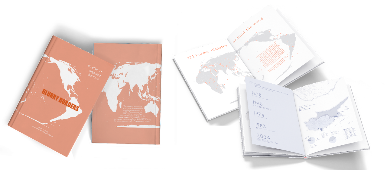
Blurry Borders, an atlas on disputed borders.
Project research, data management and design
for Cartography Master, 2021.

“Borders are part of every map,
it’s the cartographer’s decision how to present them.”


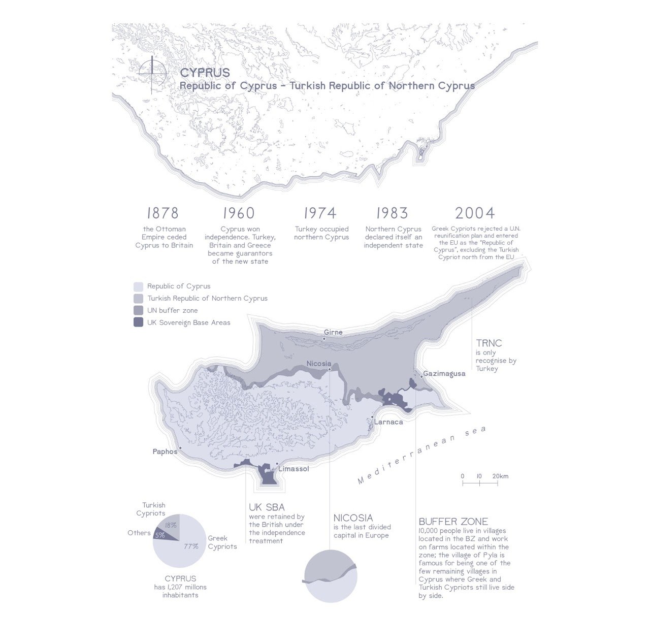
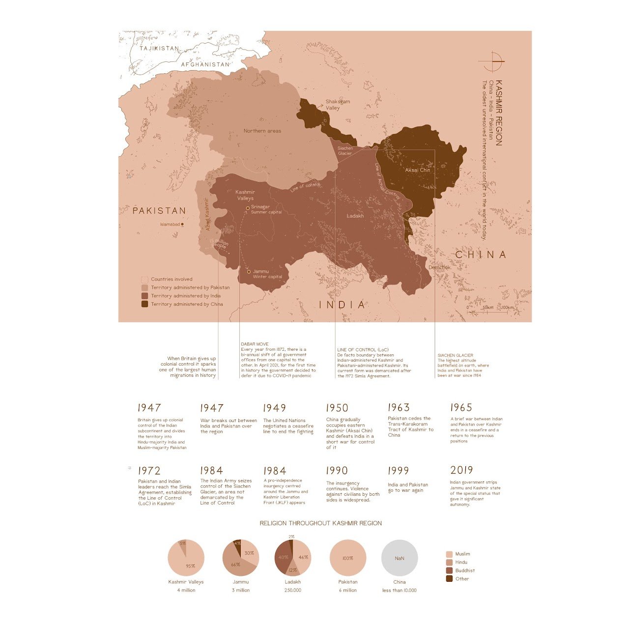
For something invisible and very often arbitrary, borders have always been an area of conflict. Throughout history, by wars and treaties, communities have fought and claimed their sovereignty of territories for thousand of kilometers to just a few meters. From an island claimed by five different countries, a border of 248km that is almost impossible to cross, to the disputed border seen from space, more than 200 territorial disputes are underway. This atlas aims to explore some of these conflicted borders.
If you want to know more about the project and how it was made...
Softwares used: QGIS, Illustrator and Photoshop